
Find European Countries on the Map

Find European Countries on the Map
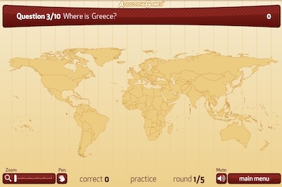
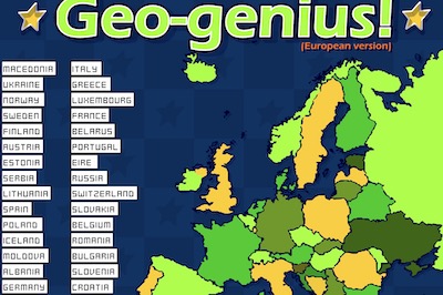
Find European Countries on the Map is a fun and educational geography game that helps players learn where different European countries are located. Instead of simply memorizing country names from a list, players interact with a map of Europe and try to identify the correct location of each country. It is a simple way to practice geography while turning learning into an enjoyable challenge.
During the game, the name of a European country appears on the screen. Your task is to look carefully at the map and select the area where you think that country is located. Countries such as France, Germany, Spain, Italy, Poland, Greece, Sweden, and many others may appear as you continue playing. Correct answers help you become more familiar with the shape, size, and position of each country.
Learn European Geography While Playing
This game is especially useful for students who are beginning to study Europe and its countries. Some countries are large and easy to recognize, while smaller neighboring countries can make the challenge more interesting. With repeated practice, players can gradually remember which countries are located in northern, southern, eastern, and western Europe.
Find European Countries on the Map also encourages observation, memory, and map-reading skills. Players can compare borders, coastlines, and nearby countries to work out the correct answer. Making a mistake is simply another opportunity to learn the location before trying again.
A Simple Geography Challenge
The easy-to-understand gameplay makes the game suitable for both classroom learning and practice at home. Try to identify every country correctly and see how quickly you can recognize locations across Europe. The more you play, the easier it becomes to understand the European map and remember where each country belongs.